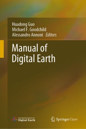
This open access book offers a summary of the development of Digital Earth over the past twenty years. By reviewing the initial vision of Digital Earth, the evolution of that vision, the relevant key technologies, and the role of Digital Earth in helping people respond to global challenges, this publication reveals how and why Digital Earth is beco...

Over the past decades, rapid developments in digital and sensing technologies, such as the Cloud, Web and Internet of Things, have dramatically changed the way we live and work. The digital transformation is revolutionizing our ability to monitor our planet and transforming the way we access, process and exploit Earth Observation data from satell...

This book provides novel and in-depth perspectives on evaluating environment and sustainability issues in developing countries. Evaluating Environment in International Development focuses on the approaches and experiences of leading international organizations, not-for-profits, and multilateral and bilateral aid agencies to illustrate how systemati...

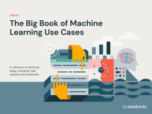
The world of machine learning is evolving so quickly that it's challenging to find real-life use cases that are relevant to your day-to-day work.
That's why we've created this comprehensive guide you can start using right away. Get everything you need - use cases, code samples and notebooks - so you can start putting the Databrick...

Geographic information systems (GIS) use a complex mix of cartography, statistical analysis, and database technology to provide everything from web-based interfaces, such as Bing Maps and Google Maps, to tracking applications for delivery services. With GIS Succinctly, author Peter Shaw guides you through it all, starting with a detailed examinatio...

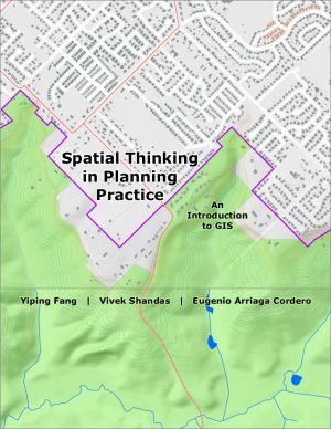
The goals of this textbook are to help students acquire the technical skills of using software and managing a database, and develop research skills of collecting data, analyzing information and presenting results. We emphasize that the need to investigate the potential and practicality of GIS technologies in a typical planning setting and evaluate ...

Microsoft Azure Maps is part of Microsoft Azure Cloud Services and provides a wide range of powerful geospatial capabilities and a rich set of REST APIs. It has SDKs for both web and mobile applications. In Azure Maps Using Blazor Succinctly, learn how you can create sophisticated applications with Azure Maps and Syncfusion controls in Blazor. Mich...
